Five waterfall trails drop from Black River Road into hemlock-shaded gorges, and the North Country Trail strings them together along the river all the way to Lake Superior. Here is every trail on the byway, how far it goes and what is open.
TRAIL MAPNorth Country TrailFalls & harbor trailsBlack RiverCR 513 · Black River Road
Every falls on the Black River Scenic Byway has its own short trail from a paved parking area off County Road 513, from a 500-foot paved path to a three-quarter-mile walk down into the gorge. Most use long wooden stairways, so they can be strenuous. For a longer day, the North Country Trail follows the west bank for about six miles, past all five falls, to the beach at Black River Harbor.
Repairs through fall 2027. The Ottawa National Forest is replacing waterfall platforms, stairways and boardwalks along the Black River. Sandstone Falls is closed, and parts of the Potawatomi, Gorge and Rainbow trails may close while crews work. Check current conditions or call the Bessemer Ranger District at 906-852-3500 before you go.
Trail by trail
The waterfall trails
Listed south to north, the way you meet them driving up from Big Powderhorn Mountain. Numbers match the trail map.
1Big Powderhorn photo
Open · use care on stairs
Great Conglomerate Falls
Trail · ¾ mile each wayEasy to difficultNo fee
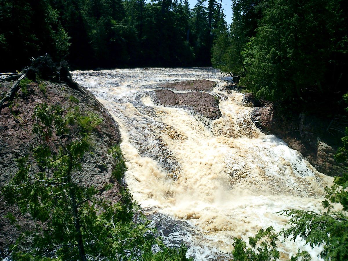
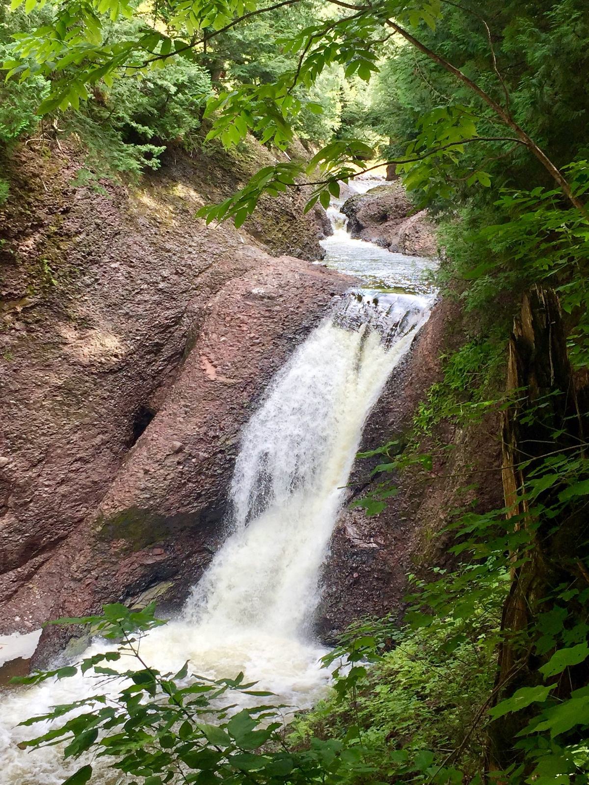
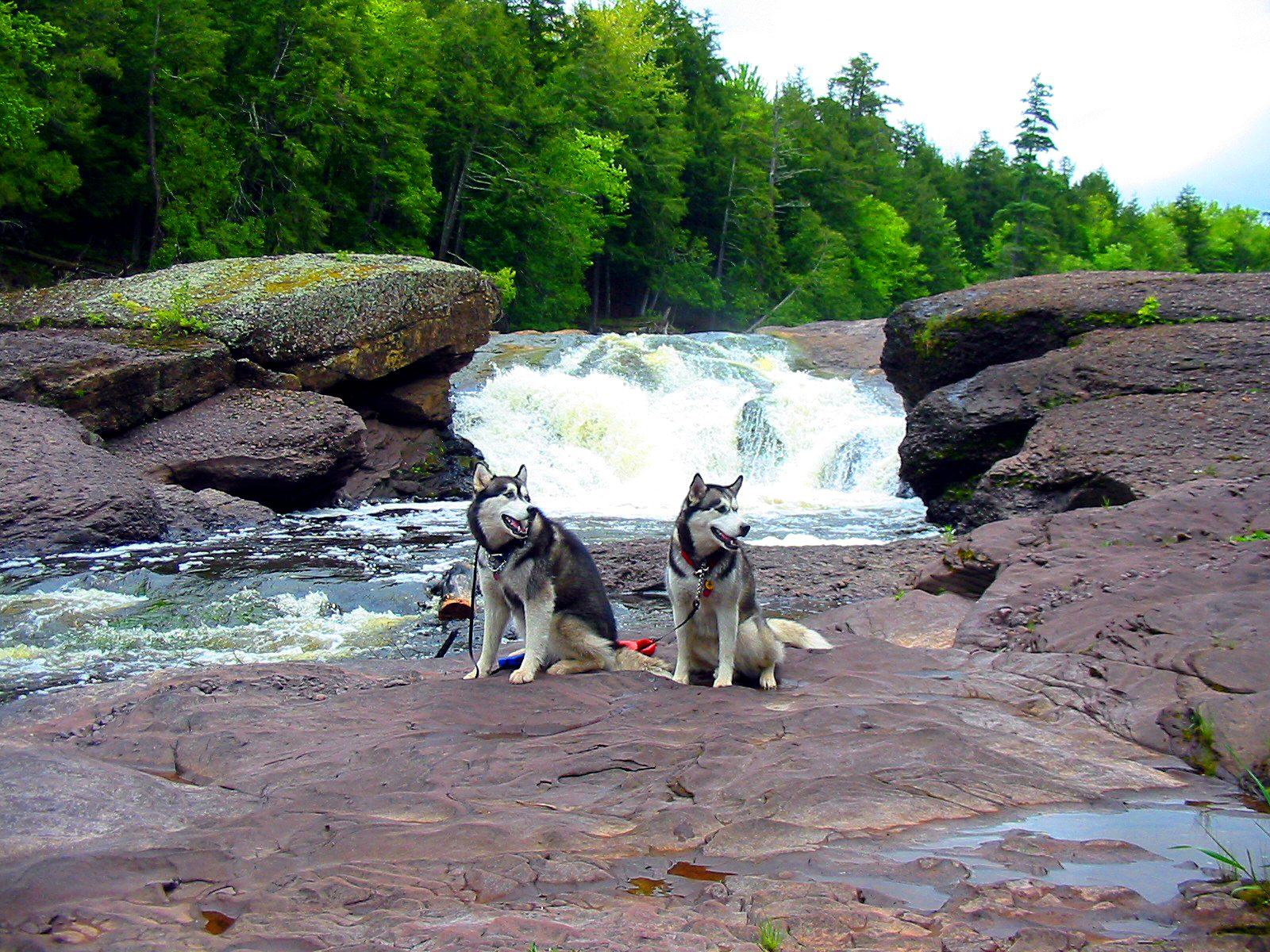
From a paved lot off Black River Road, the longest of the falls trails drops steadily through hemlock and hardwood to the river. There the Black River splits around an island of conglomerate rock and crashes into the gorge below. Save some energy for the climb back out. The North Country Trail passes the falls, so you can also walk on downstream to Potawatomi and Gorge.
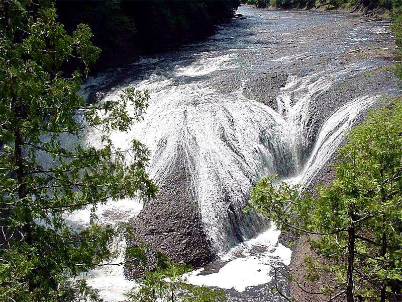
The easiest walk on the river. A paved, barrier-free path leads from the parking area to the accessible Potawatomi viewing platform, where the falls fans across a rock face about 130 feet wide. Stairways continue down to lower platforms. The Potawatomi–Gorge trail was named a National Recreation Trail in 1978.
3Big Powderhorn photo
Open · some platforms closed
Gorge Falls
Trail · about 400 ftSame lot as PotawatomiStairways
From the north end of the same parking area, a short trail and stairways lead to Gorge Falls. Here the whole river squeezes through a slot about 29 feet wide and drops about 24 feet into a dark, steep-walled canyon. Walk both falls and you have seen the river at its widest and its narrowest within a few hundred feet.
4USDA Forest Service
Closed for repairs
Sandstone Falls
Trail · ¼ mileShort but steepSteps
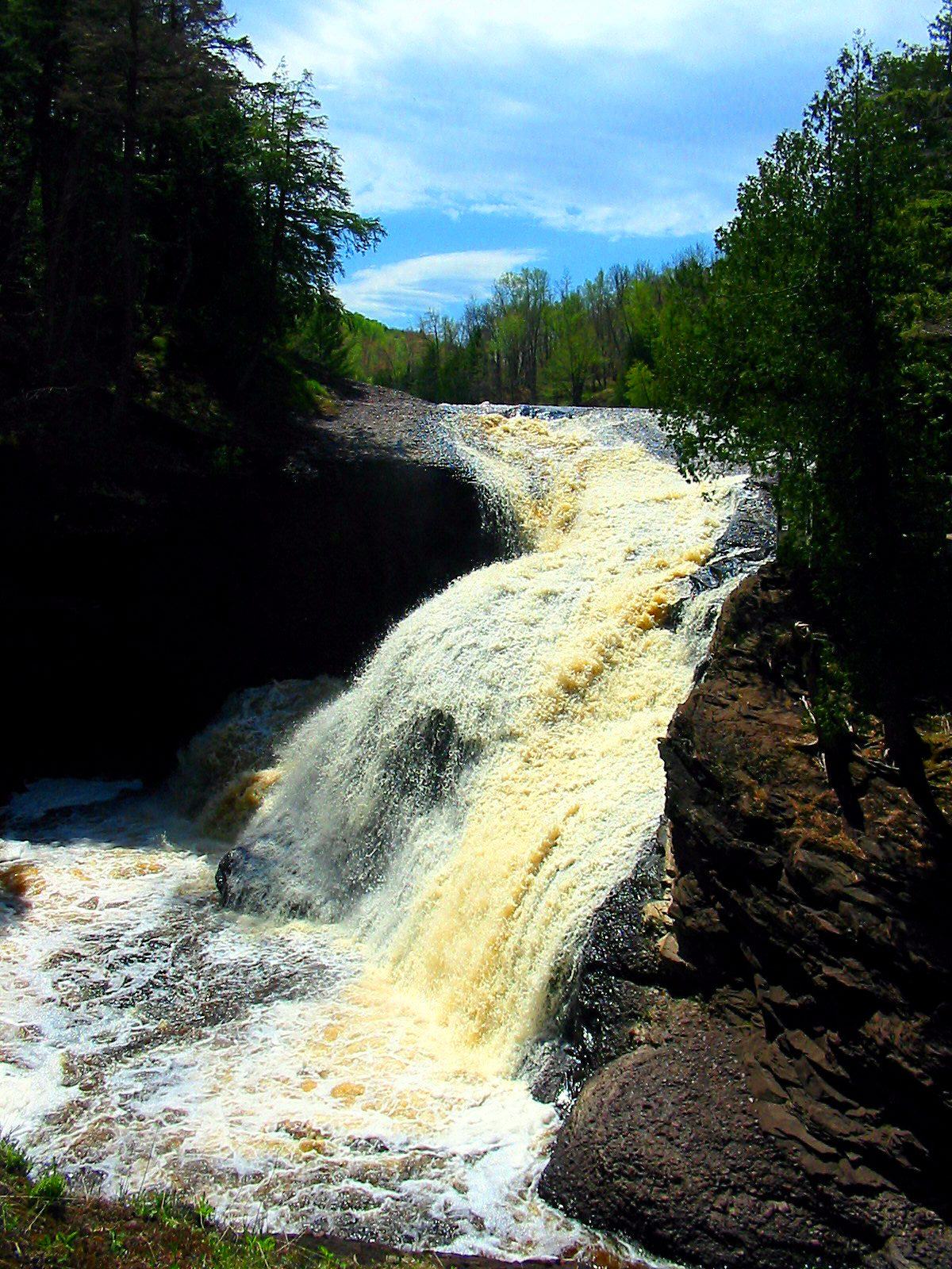
A short, steep trail with a long run of steps drops to wide ledges of red sandstone and conglomerate that the river has carved into hollows and chutes. The site is closed while the Forest Service replaces the stairway and builds a new platform, with work expected to run through fall 2027.
5USDA Forest Service
Open · stair work planned
Rainbow Falls
West side · ½ mile + stairsEast side · ¾–1 mile from the harborNo restrooms
The last falls on the river, about 40 feet high and less than a mile from Lake Superior. Walk half a mile from its own paved lot to a stairway that drops to the viewing platform, or start at the harbor, cross the suspension bridge and follow the North Country Trail up the east side for the better photo angle. Salmon run up to the falls in September.
H
Open year-round
Black River Harbor & the suspension bridge
Level walk to the beachDay-use fee in season
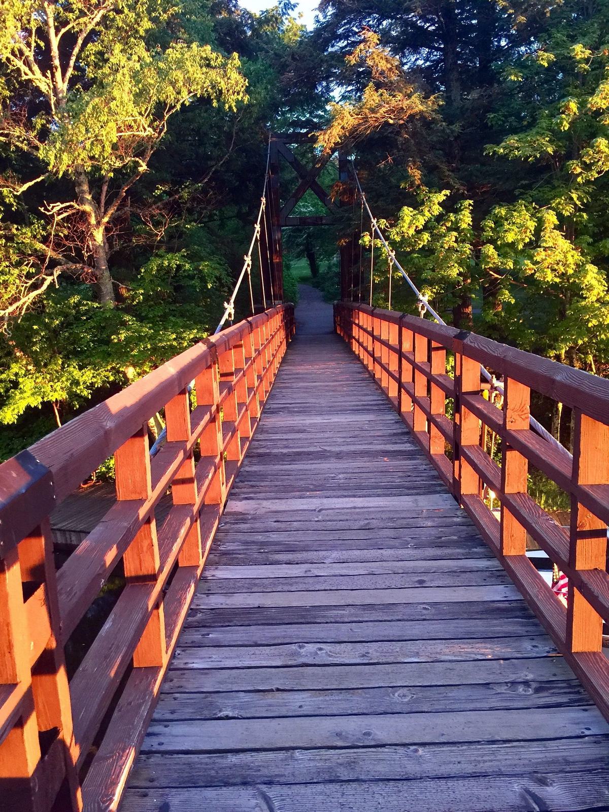
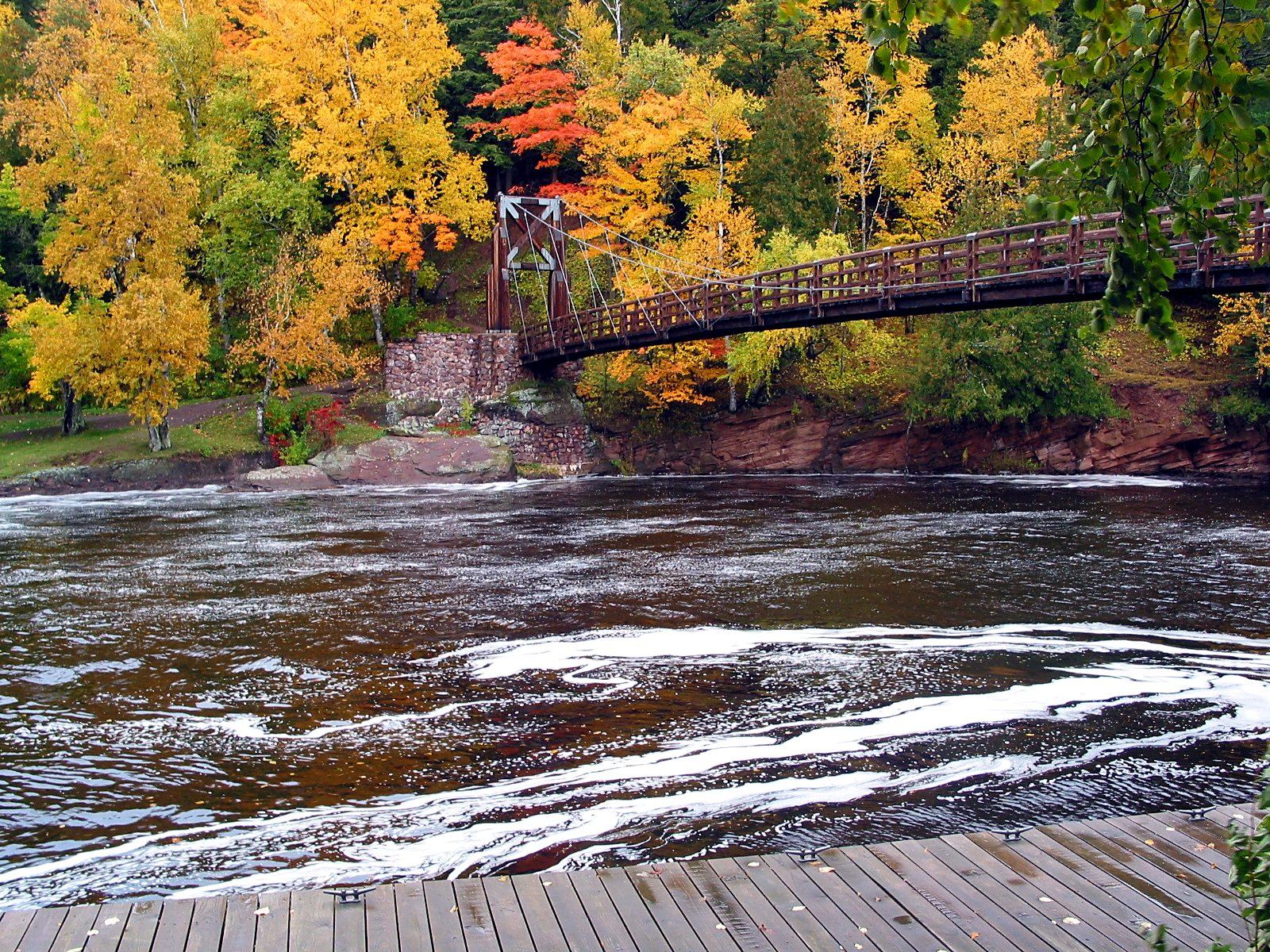
The byway ends at the harbor, where a wooden suspension bridge built by the Civilian Conservation Corps in 1938–39 carries the North Country Trail across the river mouth. Stay on the level path past the bridge to reach about half a mile of sand-and-stone Lake Superior shoreline, or take the stairs up the far bank toward Rainbow Falls.
4,800 miles, and six of the best
The North Country Trail
The North Country National Scenic Trail crosses eight states from North Dakota to Vermont. In the Ottawa National Forest it follows the west bank of the Black River north from a small trailhead near the byway’s south end, passes every waterfall, drops to Black River Harbor and crosses the suspension bridge before heading east toward the Porcupine Mountains. Look for blue blazes.
Side trails from each waterfall parking area join it, so you can walk any piece of it as an out-and-back or leave a car at each end. Expect roots, stairs, boardwalks and a few road crossings. Distances below are approximate; published figures vary between sources.
The Black River section is maintained by volunteers of the North Country Trail Association’s Ni-Miikanaake Chapter. NCTA trail alerts
North to south
Porcupine Mountains Wilderness State Park
Over ridges, creeks and ravines, mostly inland; 5.8 miles from the bridge
≈ 5 mi
Suspension bridge & Rainbow Falls east view
Cross the CCC bridge, then climb the east bank through old hemlocks
¾–1 mi
Black River Harbor
Parking, picnic area, beach and campground, about 3 miles from Potawatomi
short walk
Rainbow Falls (west side)
The trail crosses Black River Road twice between here and Sandstone
up to 1.4 mi
Sandstone Falls
Site closed for repairs; check for detours
½–1 mi
Potawatomi & Gorge Falls
Barrier-free platform, restroom and picnic tables; a National Recreation Trail
⅓–½ mi
Great Conglomerate Falls
The longest of the falls side trails meets the North Country Trail here
≈ 3 mi
NCT trailhead
Small lot at the north end of a side road off CR 513, near the byway’s south end (5–6 cars)
Pick your walk
Four hikes to try
Easiest
Potawatomi & Gorge Falls
About ½ mile round trip
Paved, barrier-free path to the Potawatomi platform, then stairways to Gorge Falls. Good for families and anyone short on time.
Best short hike
Harbor to Rainbow Falls, east side
1½–2 miles round trip
Cross the suspension bridge, climb the stairs up the east bank and follow the North Country Trail through big hemlocks to the Rainbow Falls overlook. Finish on the beach.
Half day
Potawatomi to the harbor
About 3 miles one way
Follow the North Country Trail downstream past the lower falls to Black River Harbor. Leave a second car at the harbor, or turn around for a 6-mile day.
Full river
Trailhead to Black River Harbor
About 6 miles one way
The whole west-bank section, with every waterfall on the river. Plan a car shuttle, and check repair closures before you start.
All year on the river
Hiking through the seasons
Spring
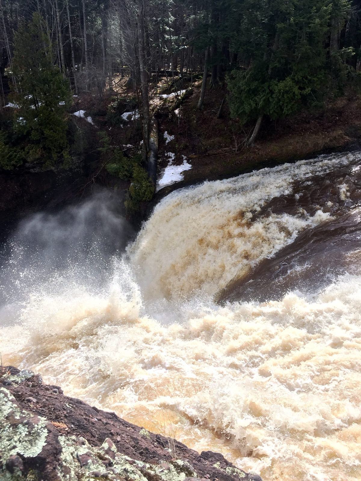
Snowmelt sends the river roaring over every falls. Trails are wet and muddy, and the stairs can stay icy in the shaded gorges.
Summer & fall
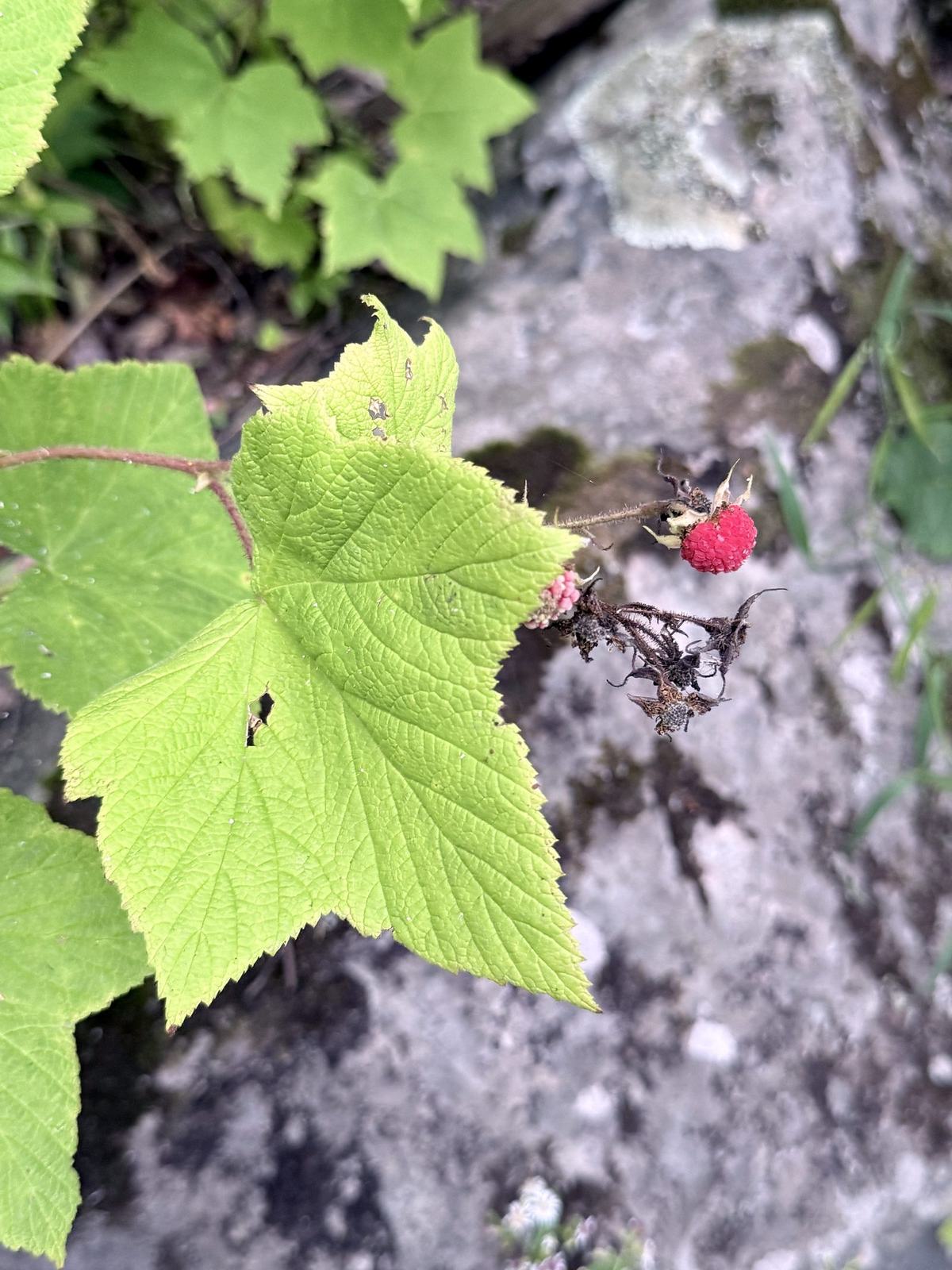
Thimbleberries ripen along the trail in midsummer. In autumn the hardwoods turn under the dark hemlocks, and salmon run up the river to Rainbow Falls in September. Bring bug spray in early summer.
Winter
This is Big Snow Country. Lake-effect snow piles up deep in the gorge and the falls build walls of ice. The trailheads stay open with reduced services, so pack snowshoes and microspikes for the stairs.
Before you go
Trail sense
Stay above the water. Never wade or cross the river above a falls. The current is stronger than it looks, and people have been swept over Rainbow Falls.
Expect stairs. Every falls except the Potawatomi platform is reached by long wooden stairways. Take your time on the climb back up.
Carry water. There is no drinking water at the falls parking areas, and cell coverage along the river is spotty.
Mind the wildlife. Expect mosquitoes and ticks in summer. Black bears live here, so keep food out of reach if you camp.
Parking and fees. The waterfall lots are free. Black River Harbor has a day-use fee in season, and Forest Service and interagency passes are accepted.
Camping. The harbor campground sits just uphill from the North Country Trail and is open mid-May to mid-October. Dispersed, leave-no-trace camping is allowed elsewhere in the national forest.
How long is the North Country Trail along the Black River?
About 6 miles. The North Country National Scenic Trail runs north along the west bank of the Black River from a small trailhead near the byway’s south end, past the waterfalls, to Black River Harbor. From the harbor it crosses the suspension bridge and continues east about 5.8 miles to Porcupine Mountains Wilderness State Park.
Which Black River waterfall trail is easiest?
Potawatomi Falls. A paved, barrier-free path of about 500 feet leads from the parking area to an accessible viewing platform, and the restroom is accessible too. Gorge Falls is a short walk from the same lot, down stairways.
Can you hike between the waterfalls?
Yes. The North Country Trail links all five falls along the west bank, so you can park at one falls and walk to the next. From Potawatomi and Gorge to Black River Harbor is about 3 miles one way.
Where is the best view of Rainbow Falls?
The Forest Service recommends the east side for photographers. Start at Black River Harbor, cross the suspension bridge and follow the North Country Trail up the east bank about three-quarters of a mile to a mile. The west side has its own parking lot, a half-mile trail and stairs down to a platform.
Can I hike the Black River trails in winter?
Yes. The waterfall trailheads and the harbor day-use area stay open year-round with reduced services, though snow plowing can limit access. Lake-effect snow piles up deep in the gorge, so bring snowshoes and take care on icy stairs and platforms.
Do I need to pay to hike the Black River trails?
The waterfall parking lots have no fee. Black River Harbor charges a day-use fee per vehicle in season, and Forest Service and interagency passes are accepted. Check the Ottawa National Forest for current rates.