Great Conglomerate Falls
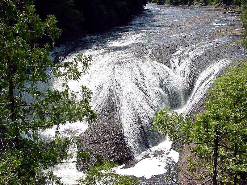
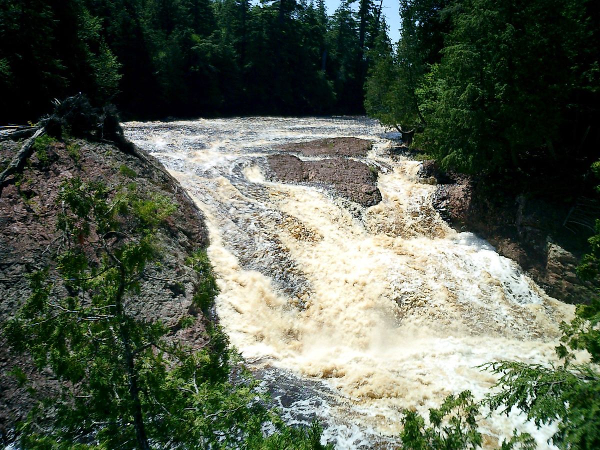
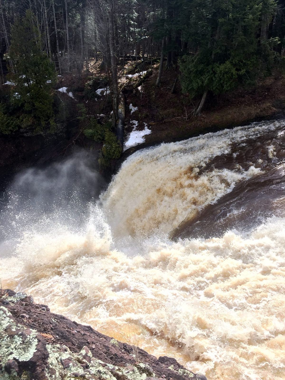
The river splits around a massive dome of conglomerate, then tumbles past boulders and fallen timber into a deep gorge. It is the most dramatic falls on the byway and the most work to reach.

A Big Snow Country guide
Eleven miles of Ottawa National Forest road run from the hills of Big Snow Country to the shore of Lake Superior. Along the way the Black River drops over five waterfalls in hemlock-shaded gorges, then meets the big lake at a little harbor.
Just north of Big Powderhorn Mountain, County Road 513 (Black River Road) leaves the ski hills behind and follows the Black River north through the Ottawa National Forest. The last 11 miles are a designated National Forest Scenic Byway, dedicated in 1992, and the road ends at Black River Harbor on the shore of Lake Superior.
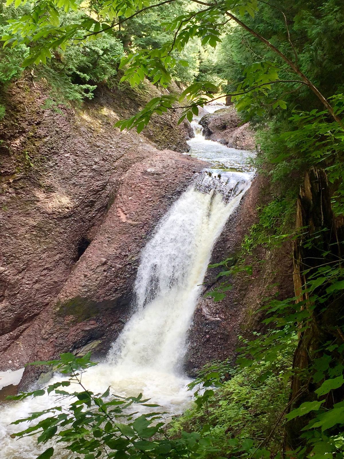
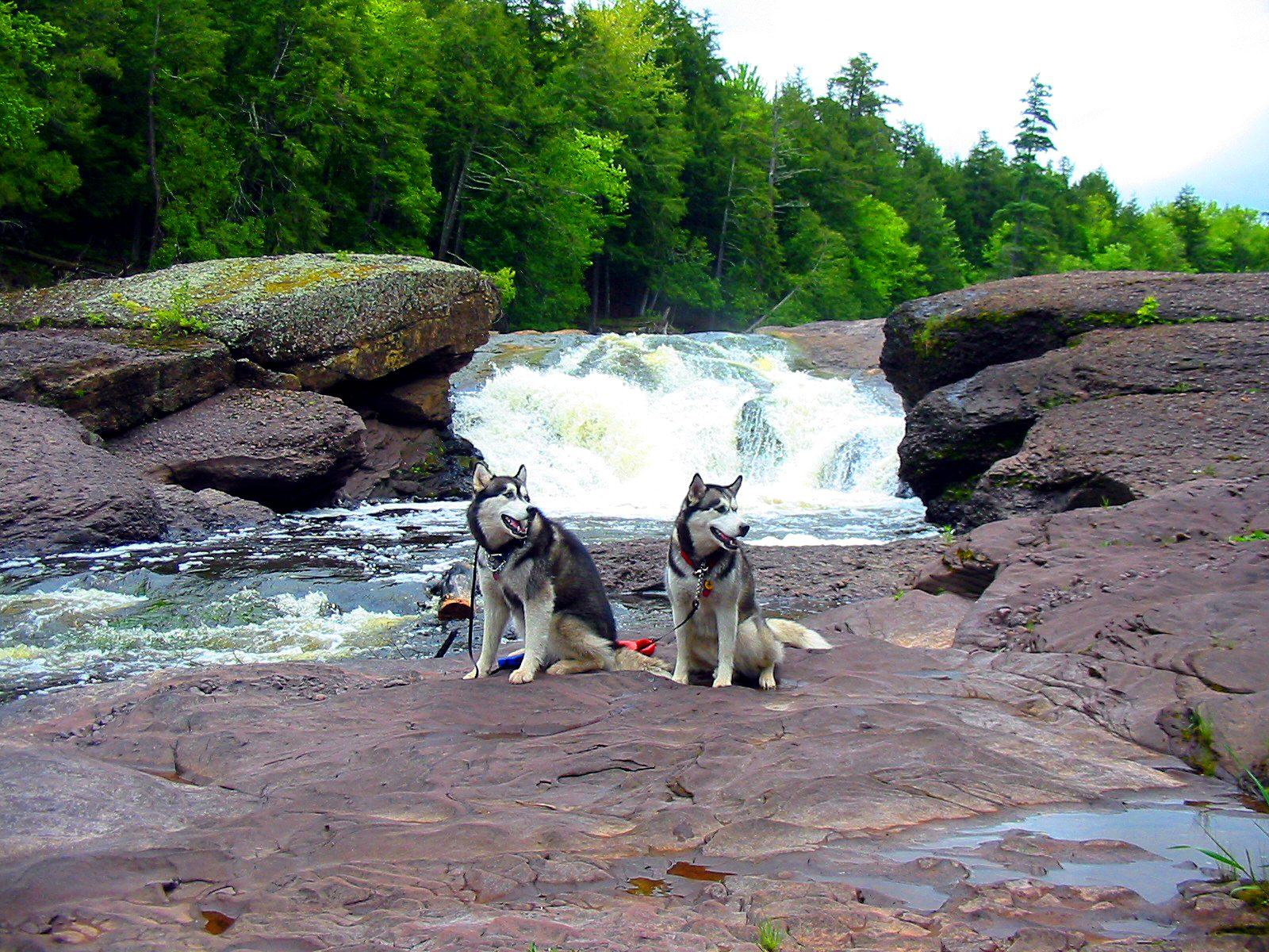
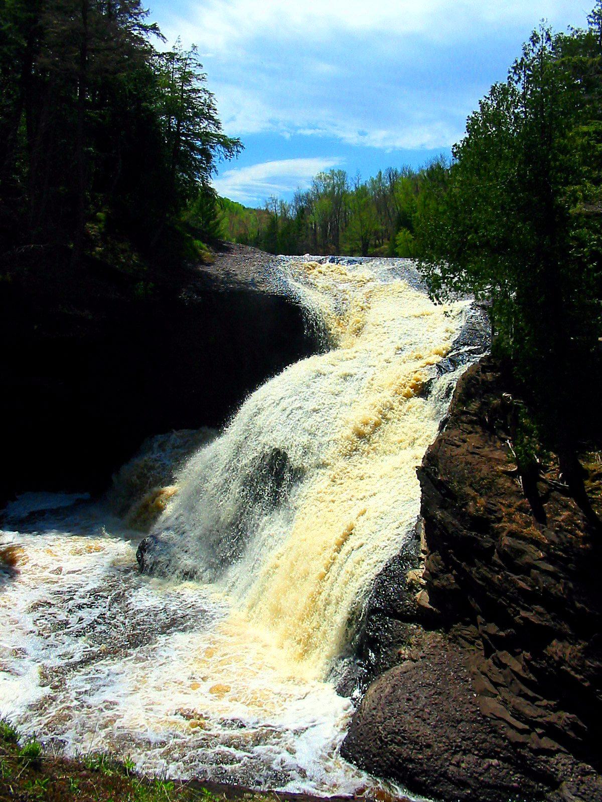
Along the way the river drops through a chain of conglomerate and sandstone gorges and spills over five named waterfalls: Great Conglomerate, Potawatomi, Gorge, Sandstone and Rainbow. Each one is a short walk from a paved parking area. Hemlock, pine and hardwood crowd the canyon walls, and in autumn the whole valley turns red and gold.


The byway runs north on the west side of the river, staying back from the banks. Pull-offs and parking areas lead east to the falls. Every stop is marked on the map above.
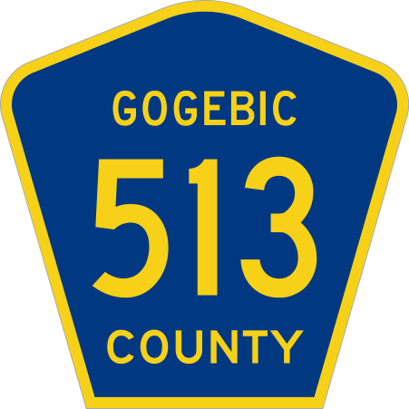
Follow the signs. The byway is County Road 513 the whole way. Watch for the blue-and-gold Gogebic County 513 shield and the scenic byway signs along the road.
Begin in the heart of Big Snow Country, just north of US-2 between Ironwood and Bessemer. The chalets at the base make the easiest home base for the drive.
Follow Powderhorn Road north about three miles to County Road 513. The scenic byway designation starts where 513 meets County Road 204, and the road runs north through pine, hemlock and hardwood.
The first falls, and the longest walk: a trail of about three-quarters of a mile leads down to where the river splits around a great dome of conglomerate rock.
Two falls, one stop. A barrier-free path leads to the Potawatomi viewing platform, and Gorge Falls is a short walk downstream. There are restrooms and picnic tables here.
A stairway trail drops to broad ledges of red sandstone that the river has carved into channels.
The last falls on the river, less than a mile from Lake Superior. Reach it by stairs from its own parking area, or walk in on the North Country Trail from the harbor.
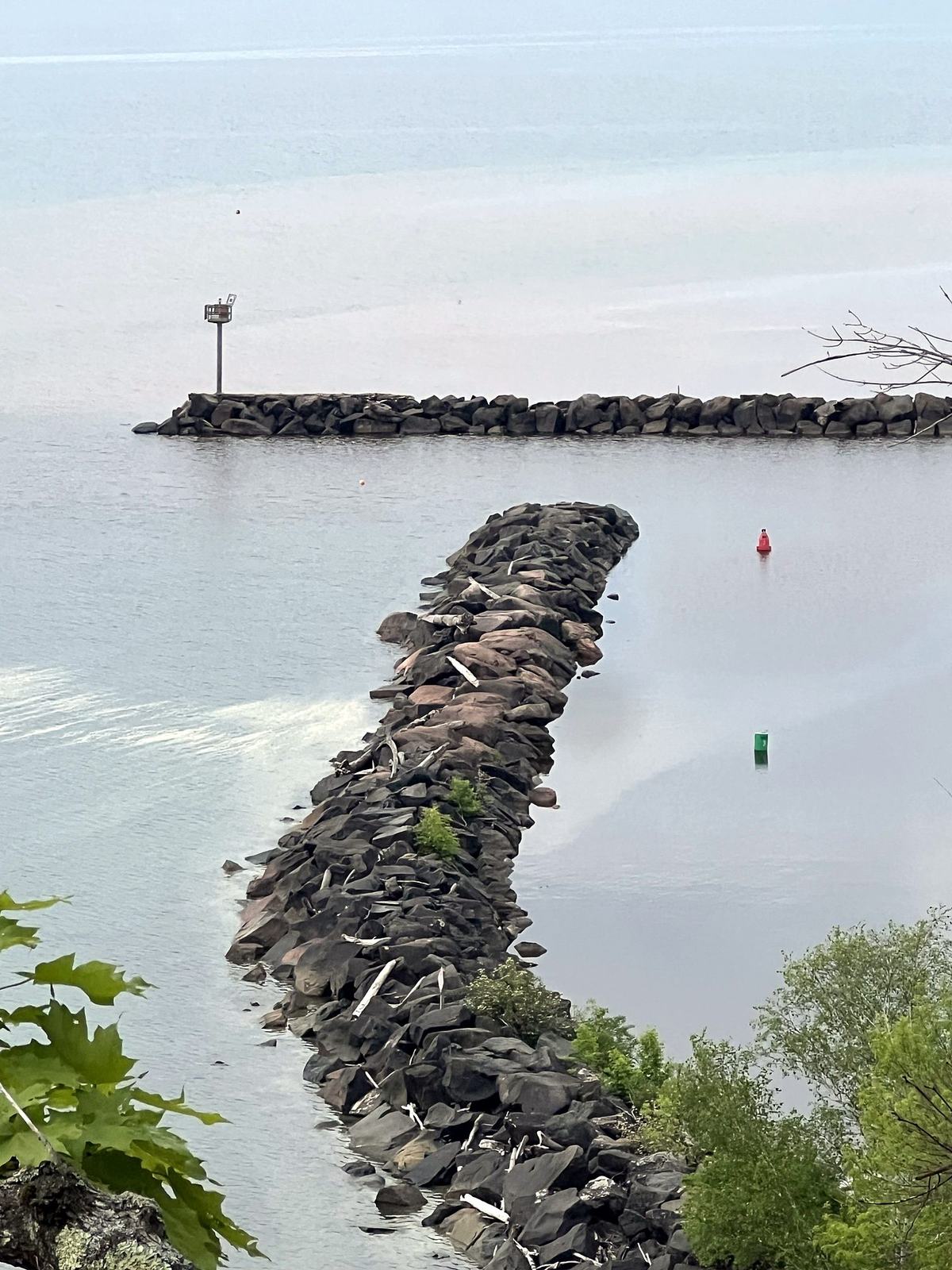
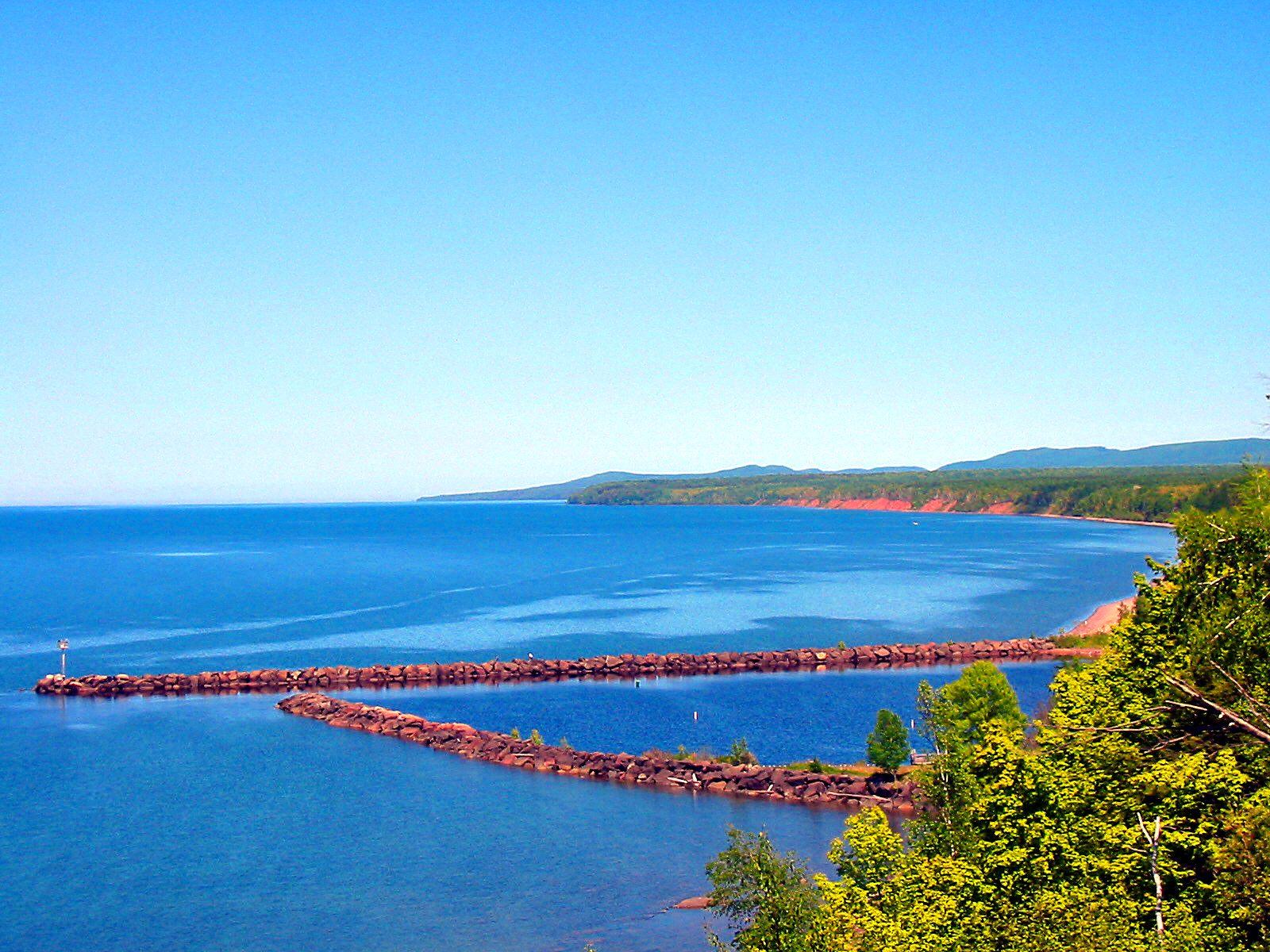
The byway ends at a sheltered harbor with docks, a beach, picnic grounds and a campground on the Lake Superior shore.
Here the Black River cuts down through bands of conglomerate, which is ancient gravel and cobble cemented into stone, and through softer red sandstone on its last few miles to the lake. Each band leaves a different kind of waterfall behind.

The river splits around a massive dome of conglomerate, then tumbles past boulders and fallen timber into a deep gorge. It is the most dramatic falls on the byway and the most work to reach.

Often called the prettiest falls on the river, Potawatomi drops in two sections and fans across a broad dome of rock. It has the most accessible viewing platform on the byway.

Just downstream, the whole river squeezes through a narrow slot of conglomerate and plunges into a dark, steep-walled canyon. It is a favorite with photographers.

Named for the red sandstone the river has cut into channels and chutes. At normal water the wide, flat ledges make a natural viewing deck right beside the cascades.

The northernmost falls on the Black River, less than a mile from Lake Superior. Its spray catches the sun in the narrow gorge, and a viewing platform looks straight down the drop.
Before you go: most falls trails use long wooden stairways. The Forest Service reports that the waterfall platforms and trails are undergoing major repairs, so check current conditions with the Ottawa National Forest before you head out. The Potawatomi–Gorge trail was named a National Recreation Trail in 1978.
Where the river finally meets Lake Superior, the byway ends at one of only two harbors in the entire National Forest System. In the 1920s this was a small fishing village. Gogebic County bought the waterfront for a park in 1924 and traded it to the Forest Service in 1967.


Brook trout live in the river and its cold tributaries above the falls, and Lake Superior steelhead and salmon run upstream as far as Rainbow Falls, where the water below stays open all year. The Black River trout guide has the live USGS river flow and today’s conditions, plus seasons, size limits and access along the byway.

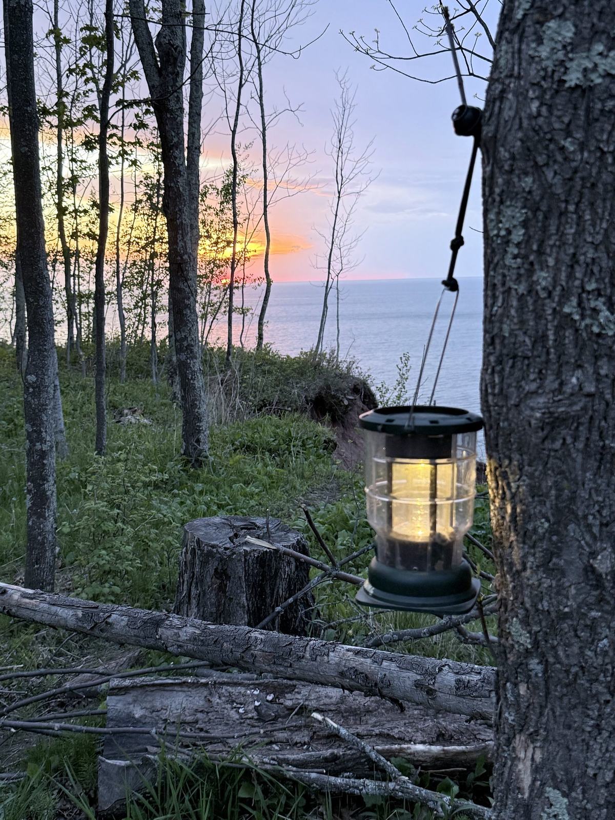
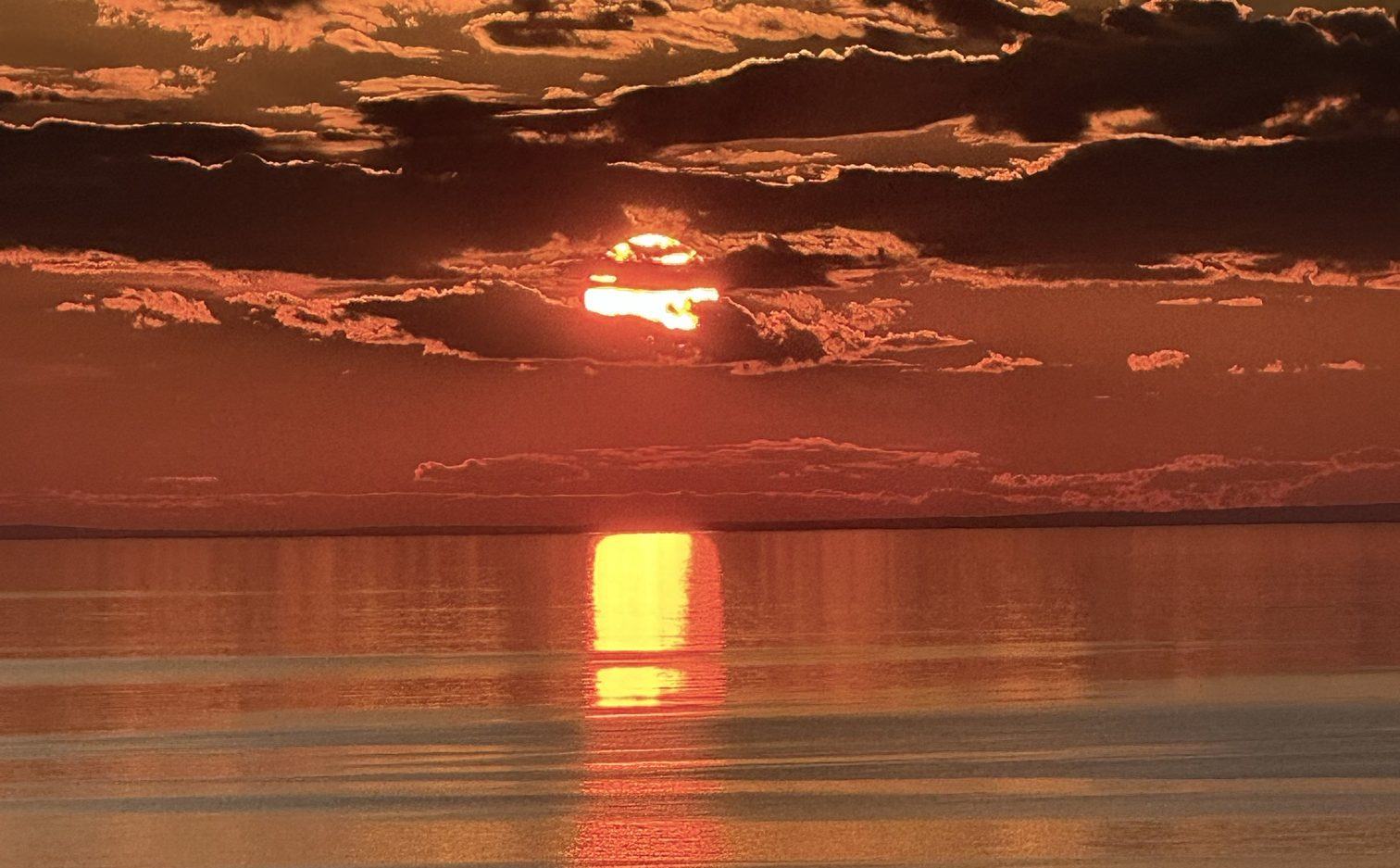
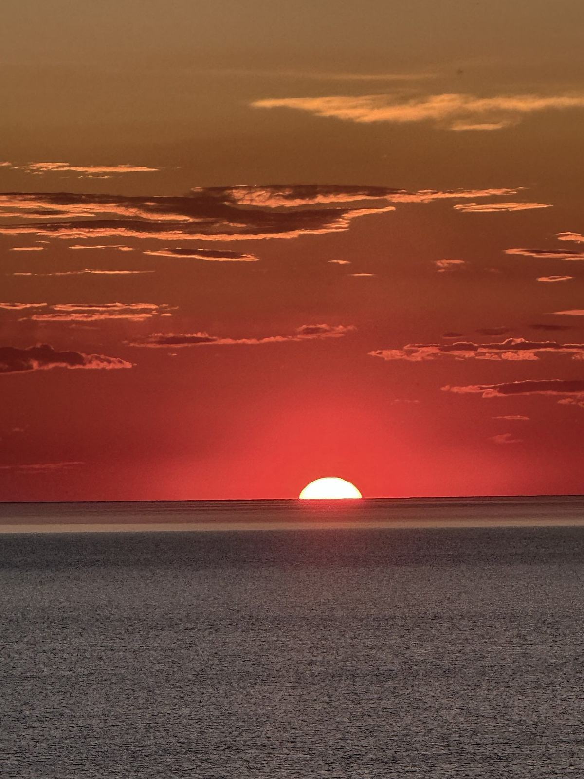
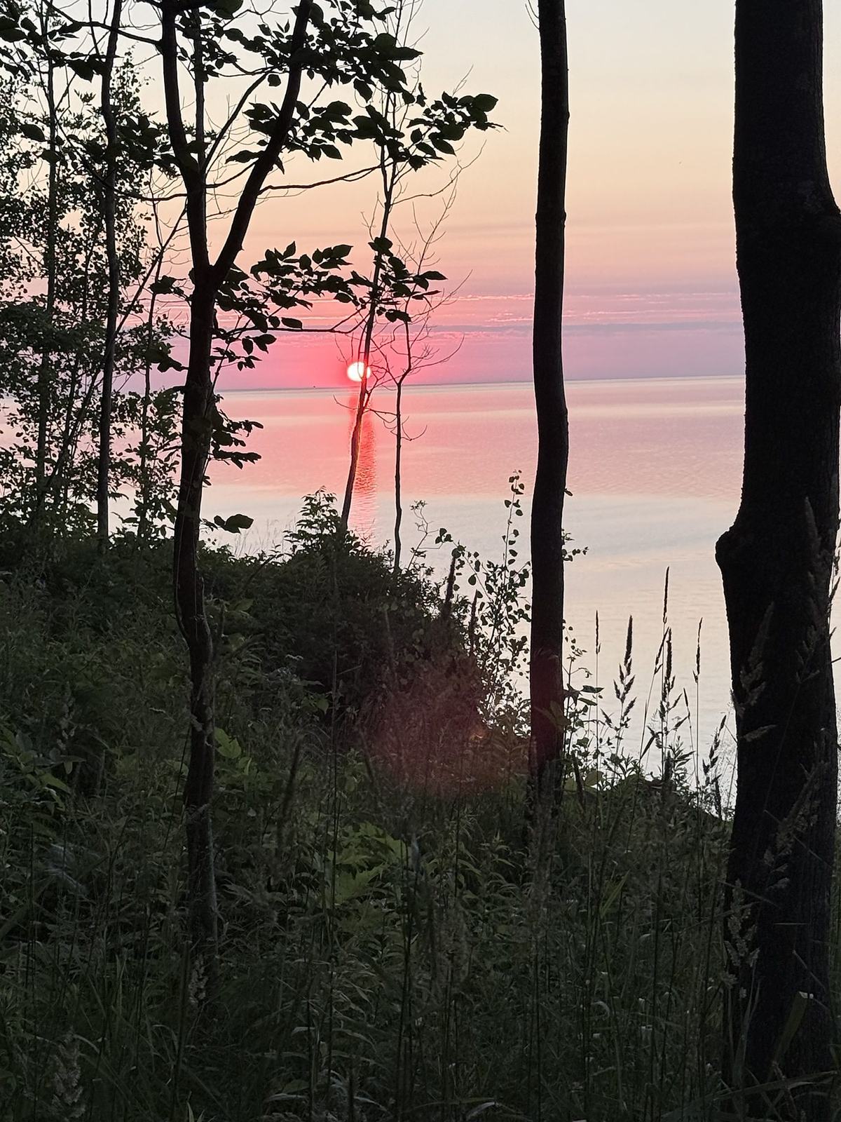
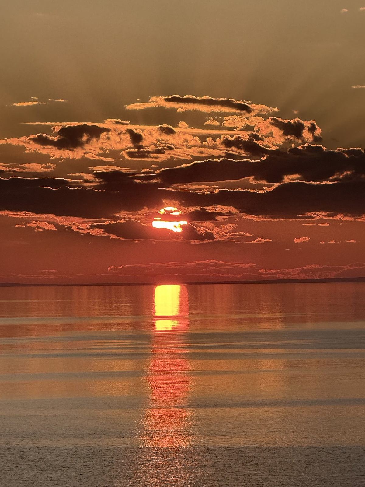
From the bluffs above the harbor, summer sunsets sink straight into open Lake Superior. Bring a lantern and a chair, and take the drive home slowly.
People have travelled this valley between the Gogebic Range and the lake for well over a century and a half.
Surveyor William A. Burt records a wagon road running south from the river mouth.
The State of Michigan builds a wagon road linking the waterfront with Bessemer.
Gogebic County buys the waterfront for a park. A county road along the river is in place by 1927.
The Civilian Conservation Corps builds the harbor pavilion during the Great Depression.
The gravel road along the river is fully paved.
The county trades the riverside park and harbor to the U.S. Forest Service.
The Potawatomi–Gorge falls trail is named a National Recreation Trail.
The lower Black River becomes a National Wild and Scenic River. The road is designated a National Forest Scenic Byway and dedicated that September.
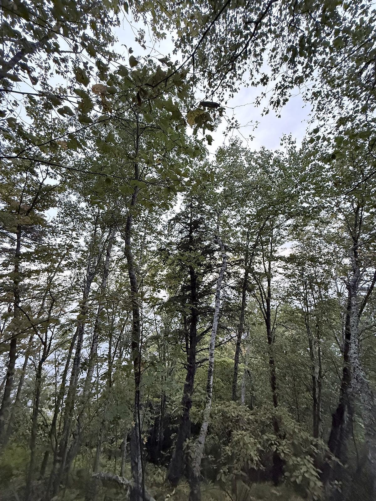
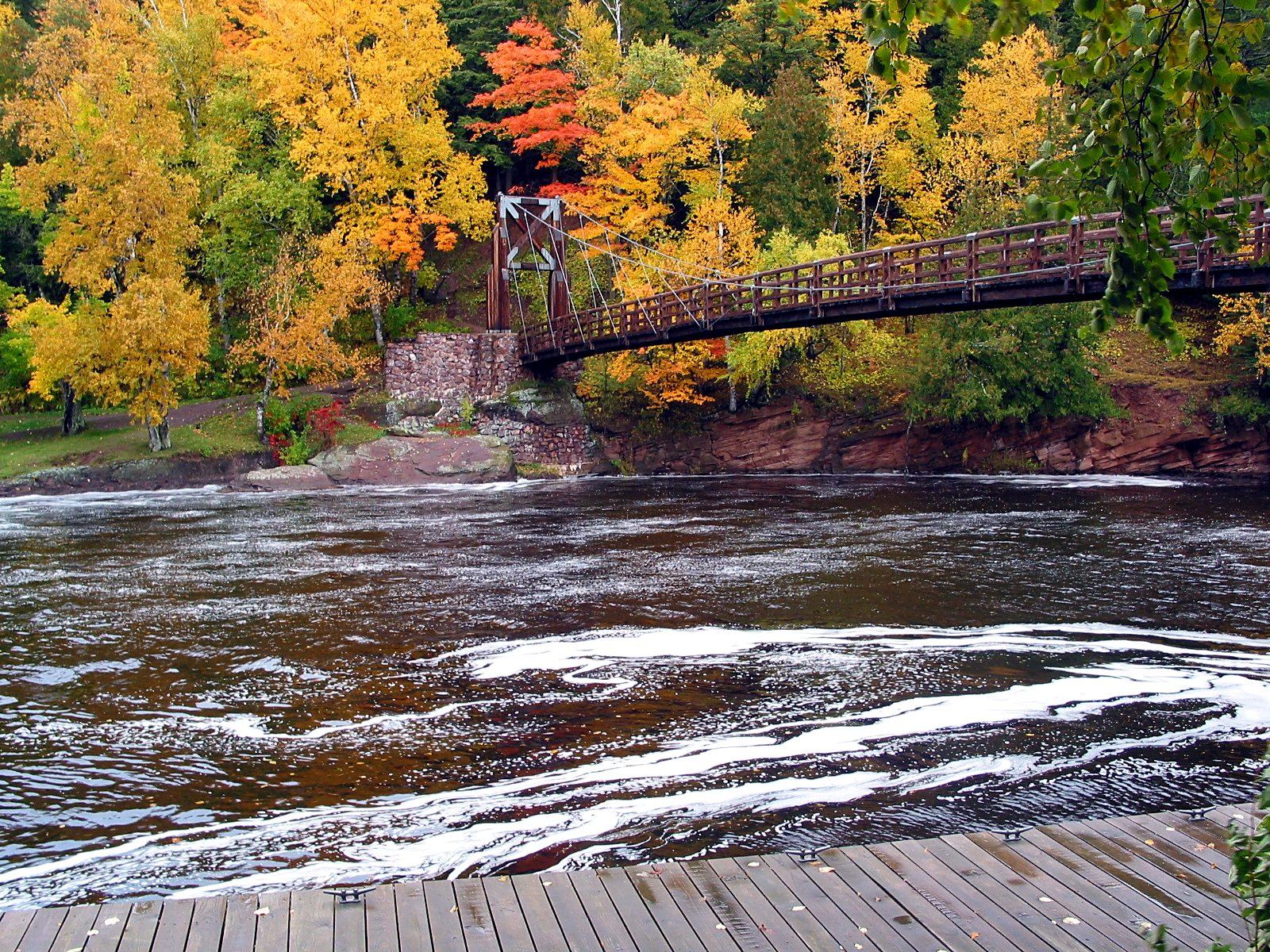
The hardwoods in the gorge turn red, orange and gold. This is the byway's best-known drive, with colorful leaves on the water below every falls.
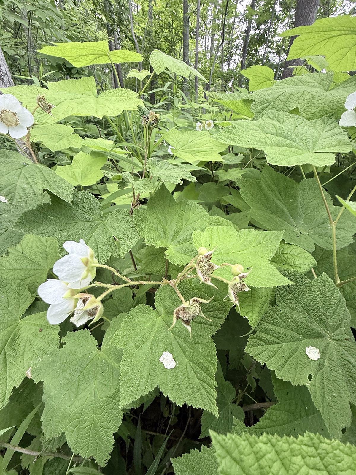
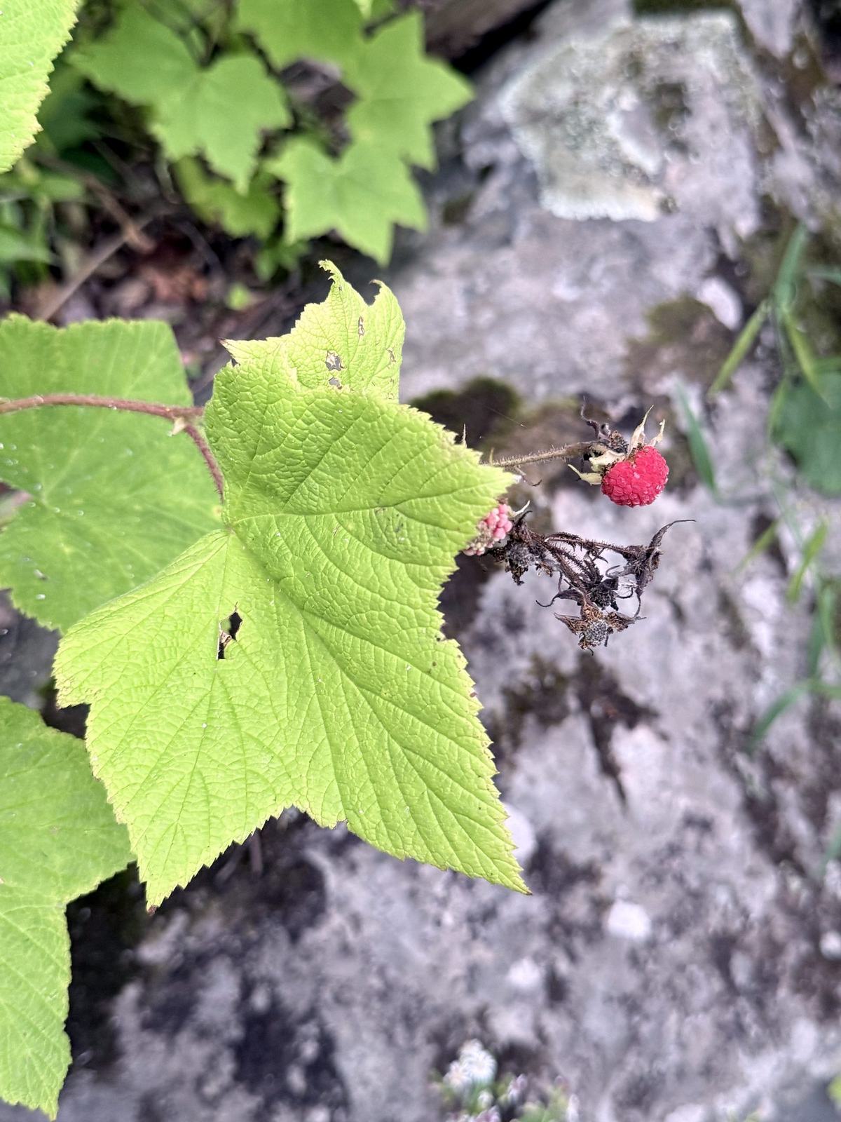
The North Country Trail follows the river for about six miles, past the falls to the harbor. Thimbleberries ripen along the trail in midsummer. Finish with a cold swim off the Lake Superior beach.
Snowmelt from a Big Snow Country winter swells the river, and the falls are at their loudest and wildest.
Lake-effect snow buries the gorge and the falls build ice. Trailheads stay open with fewer services, though plowing can limit access, and the ski hill is just down the road.
Ski Big Powderhorn →Lake trout, coho salmon, steelhead and walleye, fished from a boat out of the harbor or from the shoreline.
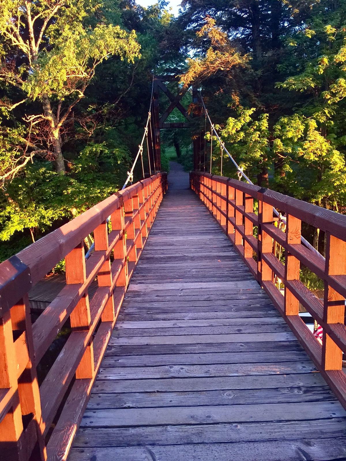
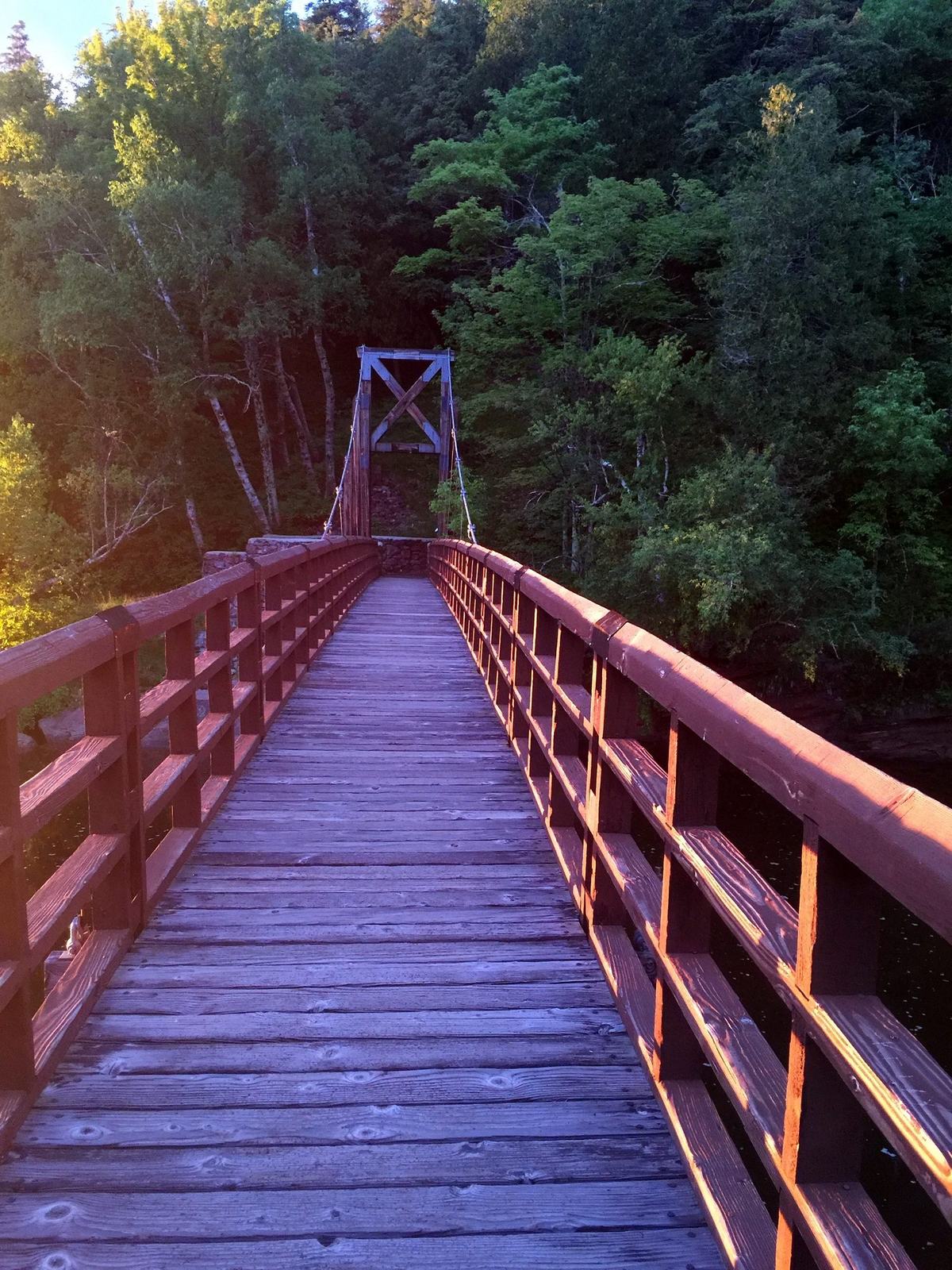
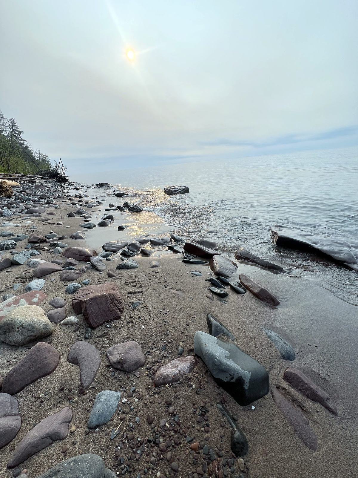
Walk the stony Lake Superior beach past the suspension bridge and look for agates and colorful stones polished by the lake.
Rock picking tips →


Photos: Big Powderhorn collection, except Rainbow Falls, Sandstone Falls, the harbor from above and the autumn bridge (USDA Forest Service, Ottawa National Forest).
The Big Powderhorn Village is where the byway begins: make one of its chalets or condos your base for the falls and the harbor.
The National Forest Scenic Byway follows County Road 513 (Black River Road) for about 11 miles, from its junction with County Road 204 north to Black River Harbor on Lake Superior. From US-2, take Powderhorn Road north about three miles to County Road 513. That puts Big Powderhorn Mountain at the south end of the drive.
Five named falls, from south to north: Great Conglomerate, Potawatomi, Gorge, Sandstone and Rainbow. Potawatomi and Gorge share one parking area. Every falls has its own short trail from a paved lot, and the North Country Trail links them along the river.
The road alone is a short drive, but allow at least half a day to walk down to all five falls, and a full day if you want to hike, picnic or spend time on the beach at the harbor.
Potawatomi Falls has a barrier-free path to its viewing platform. The other trails run from about 400 feet to three-quarters of a mile and most use long wooden stairways, so they can be strenuous. The Forest Service reports the falls platforms and trails are undergoing major repairs, so check conditions before you go.
Black River Harbor is an Ottawa National Forest recreation area with a day-use fee, and Forest Service and interagency passes are accepted. Check the Ottawa National Forest for current rates.
Yes. The Forest Service keeps the day-use area and waterfall trailheads open year-round with reduced services, though snow plowing can limit access. In Big Snow Country the gorge fills with deep lake-effect snow and the falls build ice, so pack snowshoes.
Roughly 14 miles: about three miles up Powderhorn Road to County Road 513, then about 11 miles north on the byway. The harbor is about 15 miles north of Bessemer.
The byway starts minutes from Big Powderhorn Mountain, so a slopeside chalet makes an easy base for a day of waterfalls and Lake Superior.